
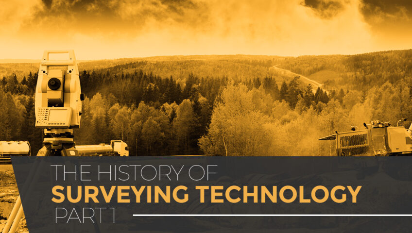
There have been many famous surveyors throughout history who began with mapmaking and then moved on to become explorers, adventurers, and even presidents. When you think about early surveying methods, people essentially used a string to lay out buildings’ foundations, which, although primitive, resulted in some of the most beautiful creations ever by humans. The Great Pyramids, Stonehenge, and more are great examples of buildings that used primitive surveying and resulted in great things.
SITECH Rocky Mountain in Aurora offers the best in construction technology, including Trimble surveying equipment and rentals. From railroad to track surveying, as well as aerial surveys, we help our businesses with the technology they need to work more efficiently and safer, thereby staying on-time and on-budget for their customers. Below, we’ll take a brief look at the history of surveying technology. Contact us to get started today!
HISTORY OF SURVEYING TECHNOLOGY
Archaeologists know that the Egyptians were using what we would call surveying methods by 1400 BC. Here, they divided out plots of land so that they could be taxed accordingly. They employed ropes with knots in order to measure distances. While this method of surveying is extremely primitive compared to modern surveying methods, it was incredibly accurate. The Great Pyramid of Giza, which was built around 2700 BC boasts a near-perfect north-south orientation.
Mesopotamia introduced an early surveying tool known as the Groma. This tool consisted of a vertical staff with horizontal cross pieces that were mounted at right angles. These cross pieces had a plumb line hanging vertically from them. This tool could measure straight lines and right angles. It’s simply amazing how the simplest inventions built the foundations of the world.
THE COMPASS
We cannot overemphasize how the invention of the magnetic compass by the Chinese somewhere around 220 BC changed the course of history and the world. Not only was the compass used in surveying, but it was the main tool used in navigation and the “discovery” of the New World. One can only wonder if we’d be here if this tool was not invented. The compass used a lodestone that aligned itself in a north/south direction. They ensured the compass always pointed south. Popular uses for the early compass included to survey the stars and constellations, as well as help with boundary mapping.
THE GREEKS AND THE ROMANS
This method of measuring was the standard until the Greeks came along and invented the diopter in 120 BC, which is the first piece of land surveying equipment ever invented. Consisting simply of a cogwheel, screw, and a water level, it was used to measure property boundaries and more. The Romans used surveying extensively to divide the Roman Empire, especially when they conquered lands. The idea of boundaries of land is even mentioned in the Bible. The diopter is very similar to today’s theodolite, which uses a rotating telescope to measure angles in surveying. Because the Greeks used surveying extensively, they set the methods that were followed for centuries.
THE THEODOLITE
Speaking of the theodolite, the first theodolite was invented in 1571. Here, the ubiquitous tripod that most people associate with land surveyors was introduced here. A compass (not surprisingly) was used along with the tripod to create boundary lines. Theodolites are still used today in land surveying, making this invention incredibly important for today. A scope was added to the theodolit in 1725 to make it even more accurate. Like all inventions, more improvements were made to where the theodolite can now measure angles in planes and so much more.
In an effort to create more accurate boundary measurements, the Europeans invented the popular land surveying method known as triangulation. Here, a point is located by measuring angles to it from known points. This was different than measuring the distances to the point as was the norm at the time. This method built off Snell’s work which showed how a point could be found from the angles of three known points, using mathematics.
When you drive by a site development anywhere in the United States, one of the first things that has to be done is surveying. This not only ensures that the land being built upon is indeed the landowners’ land, but it also ensures the accuracy of where the building materials will be placed. It’s very important that surveying is done correctly because if it’s not, the result could be a complete teardown of buildings erected if they were built in the wrong spot — a costly mistake, indeed. Triangulation is important today not only in surveying, but also in navigation, weaponry, astrometry, and more.

MORE HISTORY OF SURVEYING TECHNOLOGY
Since it became possible to plot land, humans have done so, and nowhere is this goal more on display than in William the Conqueror’s Domesday Book. Known as the “Great Survey,” the king set out to have most of England and Wales’ land surveyed for the express purpose of gathering as much tax as he could from the people. Plus, once he conquered all of England and became king (he is from Normandy in France), he redistributed the land to his loyal supporters, so this helped with that goal as well. Known as Doomsday because it’s recordings are the final judgment of property lines.
THE MARCH TOWARD THE MODERN ERA
As the need to own land progressed with the opening to the New World, land surveying became a profession. In the late 1700s and early 1800s, land surveyors were in great demand as the Industrial Revolution was in full swing. Factories and businesses were cropping up everywhere, and everyone needed to know where their plot of land began and where it ended. From railroads to highways, surveyors needed to have the best equipment in order to be accurate with their surveys.
LAND SURVEYING TODAY
While land surveying today relies heavily on modern technology (mainly GPS, or global positioning systems), the tools remain relatively the same since their invention. Technology, such as GIS software, laser scanners, and terrestrial scanning methods have only increased the speed that land surveying can be performed and increased their accuracy. Whereas before land surveying took a long time with many measurements needed, modern land surveying equipment uses computers and software to input the data and churn out the results.
The primary role of surveyors today is to determine the position of objects on the earth’s surface and measure and record it both in relation to others and in relation to boundary and property lines. There are many different disciplines of surveying, including cartography, GIS, digital mapping, photogrammetry, geodesy, and more. Once this data is gathered, the purpose for the land can take place.
Currently, the theodolite, the total station, and the RTK (Real Time Kinematic) GPS are the surveying methods that most companies use. With the advent of satellite technology and global positioning systems in 1978, surveying has become more affordable with more accurate results. Now, three-dimensional scanning is used as well as LIDAR technology for topographical surveying needs. And let’s not forget the powerful impact drones are having on surveying technology. The sky’s the limit for where surveying will go next.
CONTACT SITECH ROCKY MOUNTAIN FOR YOUR SURVEYING EQUIPMENT TODAY
SITECH Rocky Mountain is proud to support surveyors with our superb surveying equipment from Trimble. We offer survey equipment rentals and repairs so you can get your work done faster using these amazing tools. Combined with the best construction management software and our site positioning systems, you can accurately measure and survey everything you need to. You can use your smartphone even while on the job site to survey as well.
If you are in need of surveying equipment for your construction or other job site, give our team a call. Headquartered in Aurora, we offer training classes to help you and your team maximize the use of this technology. From used to rental survey equipment and more, we’ve got your needs covered. Reach out to a team member to get started today!