
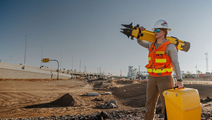
In construction, land surveying and civil engineering, precision is the foundation of project success. Forward-thinking firms maximize efficiency by adopting connected, integrated hardware ecosystems that move past traditional methods. As the industry leader, Trimble hardware provides the seamless synergy required to transform complex data into actionable field intelligence, ensuring every measurement counts toward success.
What Is the Trimble Hardware Ecosystem?
When people discuss survey equipment, Trimble is often the first name mentioned, but the ecosystem is much larger than a single total station or Global Positioning System (GPS) receiver. It is a sophisticated, interconnected network of hardware, software and cloud services designed to operate as a singular unit.
Instead of treating field data and office design as separate silos, the Trimble ecosystem creates a single source of truth. This consolidation means the data captured by a technician in the field is formatted, transmitted and used by engineers in the office without manual translation or risk of data loss. The ecosystem is a network of tools that bridges the gap between surveying, grade control and site positioning.
By using a unified environment, firms reduce the human error associated with transferring files between incompatible brands or platforms, ensuring that the field execution perfectly matches the design intent. This integrated approach fosters proactive problem-solving and minimizes expensive rework.
Core Components of Trimble Survey Hardware
Understanding the Trimble ecosystem requires a look at the specialized tools that gather and manage data on-site. While each serves a unique purpose, they often work in tandem to provide a complete picture of the jobsite.
GNSS Systems
The Global Navigation Satellite System (GNSS) is the backbone of modern site positioning. Trimble’s GNSS receivers go far beyond standard GPS. They use multiple satellite constellations to establish precise 3D coordinates anywhere on Earth. These systems allow surveyors to establish site control and perform topographic mapping with centimeter-level accuracy, even in challenging environments where signal interference might otherwise be a factor.
Robotic Total Stations
While GNSS is ideal for open skies, robotic total stations are the masters of high-precision measurement and layout. These devices use optical technology to measure horizontal and vertical angles as well as distances with extreme precision. The “robotic” designation is the key differentiator, as the instrument automatically tracks a prism held by the user, allowing for a highly efficient one-person operation. It eliminates the need for a second person to stand at the instrument, effectively doubling productivity on the fly.
Data Collectors
Data collectors are rugged handheld tablets that run specialized field software, such as Trimble Access. They serve as the primary interface for the operator, storing measurement data, displaying digital blueprints, and communicating wirelessly with the measurement hardware to ensure every shot is recorded and synced correctly.
Laser Scanners
For projects requiring immense detail, such as as-built documentation of existing structures or complex industrial sites, Trimble 3D laser scanners are indispensable. These devices emit millions of laser pulses per second to create a point cloud, which is a highly accurate 3D digital twin of the environment. This technology allows teams to capture complex geometry that would be nearly impossible to measure manually with traditional tools.
Augmented Reality Products
Trimble augmented reality products blend digital information with the real world, enhancing visualization and interaction for various construction and surveying tasks. These tools help users overlay designs onto jobsites, visualize hidden utilities and improve collaboration by providing a shared understanding of project progress and challenges.
Integrating Your Workflow From Field to Office
The true power of Trimble survey hardware is realized when these components move data through a streamlined workflow. This integration addresses common content gaps in project management by providing a direct line from the office to the dirt.
A typical integrated process begins with engineers creating a 3D design model in the office using software like Trimble Business Center (TBC). This digital “design-to-build” file then syncs via the cloud directly to the field crew’s data collector. The field crew uses GNSS or total stations to stake out the design, ensuring that every stake and grade match the digital model exactly.
Finally, as-built data is captured and sent back to the office in real time for verification. This closed-loop system ensures that if there is a discrepancy, it can be corrected sooner rather than later. Reliable Trimble hardware support ensures that the firmware, radio frequencies and cloud sync features remain optimized, preventing the technical issues that often plague mixed-brand fleets.

Upgrade Your Toolkit With SITECH Rocky Mountain
Simply owning tools isn’t enough, as you need a partner who understands the terrain. If you are struggling with workflow bottlenecks or as-built data that fails to match your designs, SITECH Rocky Mountain is your trusted regional expert for Trimble solutions in Colorado, New Mexico and far west Texas. We provide the localized expertise and specialized Trimble hardware support required to transform your operations from a collection of tools into a high-performance ecosystem.
Whether you are looking to invest in your first robotic total station or want to overhaul your entire fleet’s data integration, we are here to help you move from traditional methods to modern solutions. Contact us today for a personalized consultation to build the right hardware toolkit for your specific project needs.